
The great captaincy that once ruled in the Central Karoo
The legacy of the forgotten Griqua state is still embedded in the region's historical memory. Every journey through Philippolis is also a journey through the capital of a nation once at the centre of southern Africa's changing frontier.
 Robertson Winery
Much of the central Karoo once belonged to a remarkable African state, a captaincy that was in effect before the Orange Free State existed and South Africa had provinces.
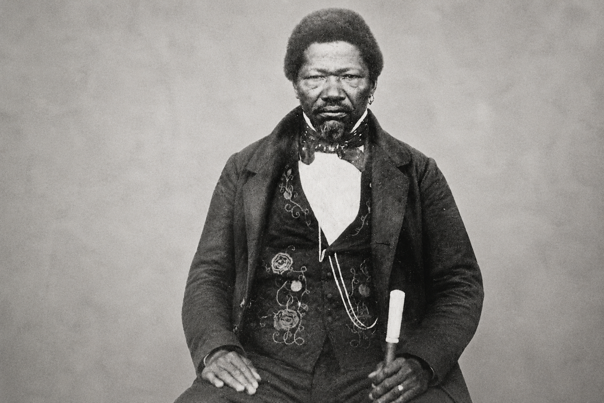
This independent territory governed thousands of square kilometres during the first half of the nineteenth century. Centred on Philippolis and led by the captain Adam Kok III, the Griqua Captaincy defined borders and diplomatic relationships with neighbouring powers.
A nation on the move
The Griqua emerged during the eighteenth century from communities with Khoikhoi, European and other African ancestry. Many Griqua groups migrated north and east in search of greater independence as colonial settlement expanded inland from the Cape.
The Griqua settled at Philippolis in the 1820s under Adam Kok II. Following his death, his son Adam Kok III became captain in 1837 and transformed Philippolis into the political heart of the Griqua state.
This was no isolated frontier settlement. Philippolis was at the centre of an increasingly important region where traders, missionaries, pastoralists and travellers crossed paths while competing claims over land were reimagining southern Africa.
More organised than many imagine
Modern visitors often picture the early Karoo as an ungoverned wilderness occupied only by scattered farmers. The reality was considerably more complex.
The Griqua administration maintained a council that advised the captain while local officials helped enforce laws and resolve disputes. Land ownership was formally recognised and regulated, taxes and licences generated revenue and agreements with neighbouring communities were carefully negotiated. The government also sought to control who could buy or lease land, recognising that unrestricted settlement threatened Griqua independence.
This was a functioning political system that balanced diplomacy with practical governance. While it lacked the scale of larger African kingdoms, it exercised genuine authority over its territory.
The region's economy reflected that stability. Many communities cultivated wheat, barley, vegetables and fruit while expanding sheep farming as wool became increasingly valuable.
Caught between expanding powers
The greatest challenge facing Adam Kok III was geography. His territory lay between expanding British influence, the growing Basotho kingdom under Moshoeshoe I and increasing numbers of Boer settlers moving beyond the Orange River.
Negotiation became almost a full-time occupation. Treaties were signed with the British while agreements were reached with neighbouring African leaders. Even so, pressure on Griqua land intensified as more farmers leased grazing and increasingly challenged Griqua authority.
By the late 1850s the balance had shifted decisively. The newly established Orange Free State sought control of the region, making continued Griqua independence difficult to maintain.
The long journey east
Adam Kok III accepted British proposals to relocate his people rather than face growing conflict. Beginning in the early 1860s, the Griqua undertook one of southern Africa's most fascinating migrations. Families travelled with their livestock and possessions across great distances before crossing the Drakensberg into what later became Griqualand East.
The journey was devastating. Drought and raids took a heavy toll, but the community survived and eventually founded Kokstad, named after their leader. There they established another self-governing administration before British annexation gradually brought that independence to an end.
Why their story is important
The disappearance of the Griqua state explains why so many Karoo towns possess unusually complex histories. Places such as Philippolis were crossroads where Khoikhoi descendants, missionaries, African communities, European farmers and traders all negotiated the future of the interior. South Africa's modern provincial boundaries are surprisingly recent. Before they existed, entirely different maps determined people's lives.
The legacy of the forgotten Griqua state is still embedded in the region's historical memory. Every journey through Philippolis is also a journey through the capital of a nation once at the centre of southern Africa's changing frontier.
 Lynette Spencer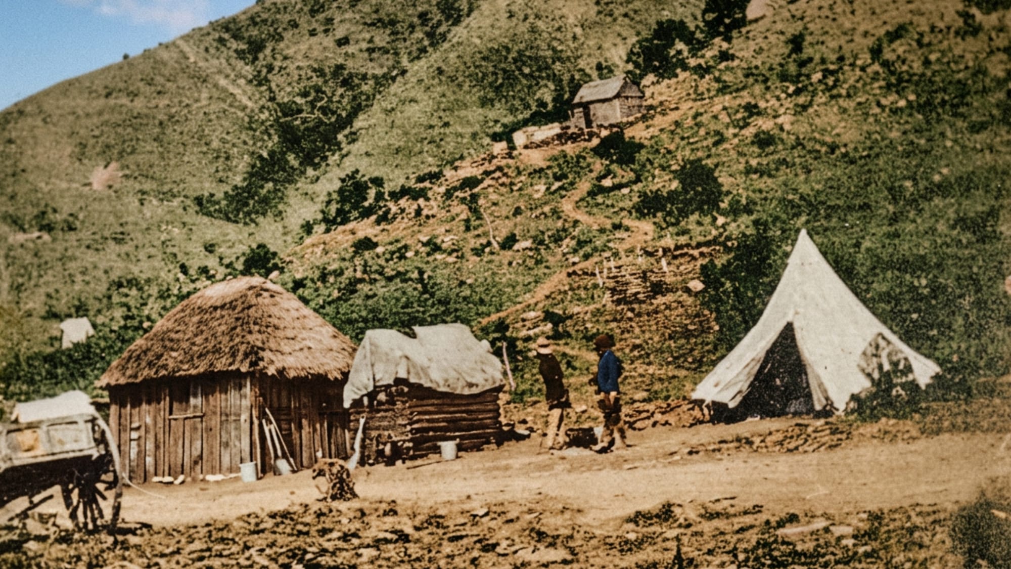
 Liz Thorne
 Mariana Balt

Comments ()